Our last gravel post centered around a trail that was a tad off the beaten path, largely unrideable, and in a rather inaccesible, far afield corner of the island. Thus in this feature we will concentrate on one that couldn’t be more contrasting in its allure.
The Chira trail is a 12km gravel section of the GC-604 road that is as yet unpaved. The GC-604 starts north of the densely populated and touristy Maspalomas area, in a town called El Tablero (near Sonnenland). In its 34km of twists, swoops and turns, the GC-604 connects to the GC-60 just outside Ayacata, and while the first 15 and the last 7km are asphalt, that central gravel section of 12km, is gravelly nirvanalicious bliss.
Coming from Maspalomas and heading towards Ayaguares, at this roundabout, instead of heading for the popular valley, follow the signs at the uphill exit for El Tablero. Pass through the village and all it’s one way streets, following signs for El Salobre, and soon you will start on the GC-604, passing km marker 34 after a couple of hundred metres. From here on, stay on this road as it leaves behind urbanisation, undulating over some foreboding ramps tipping into teen gradients.
Its a wonderful snake of tarmac lashed over the wild hillsides as you climb and descend, swoop and suffer up the ramps that pitch to over 20% in places, on a narrow and isolated road, past a deserted bar, a few plantations, and, as you reach a yellow house on your left, a view opens up onto perhaps the best known valley to cyclists on the island; Soria valley. Let the glimpses of that gentle valley meander soothingly distract your mind as the next tarmac ramps bite, but it’s not far to go after the 20km road marker until the tarmac runs out: 400m or so.
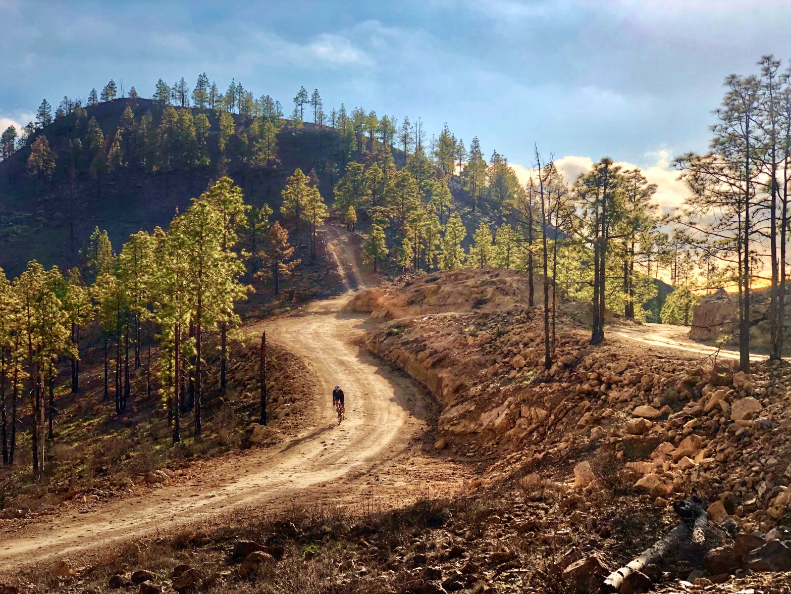
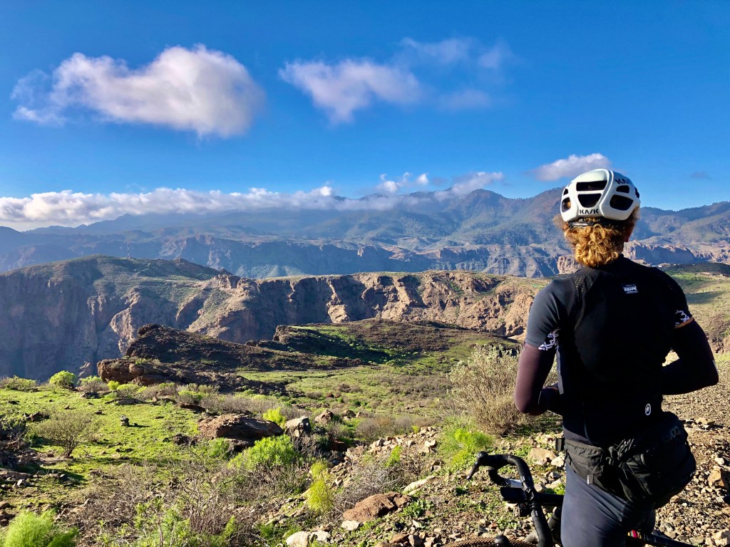
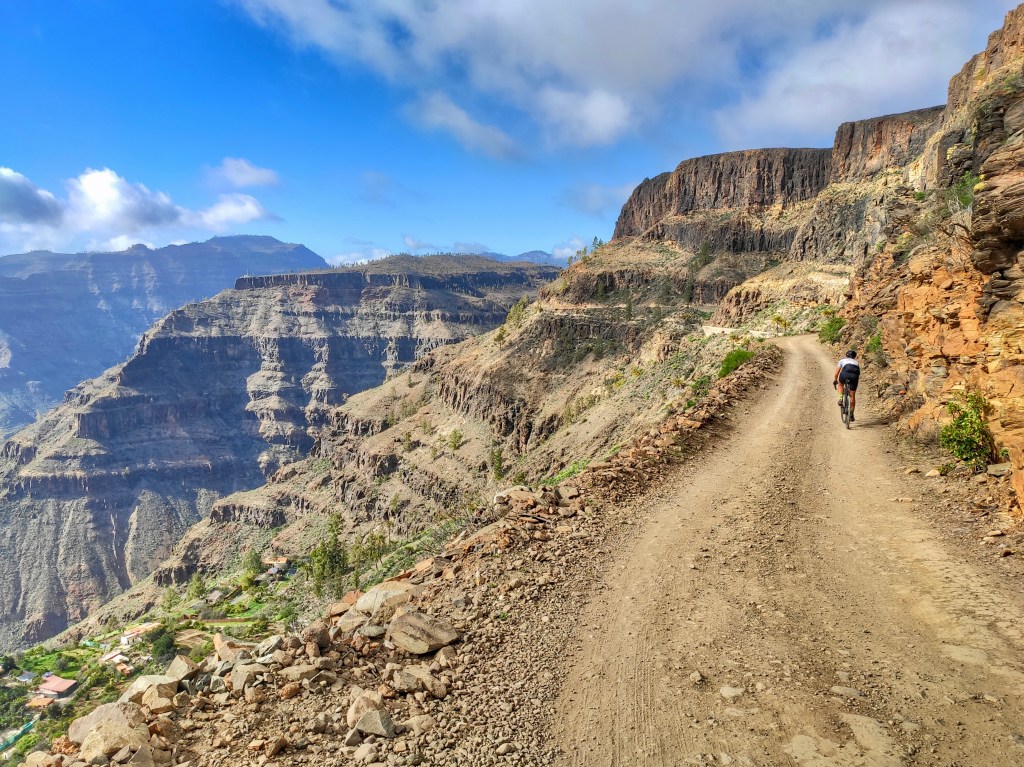
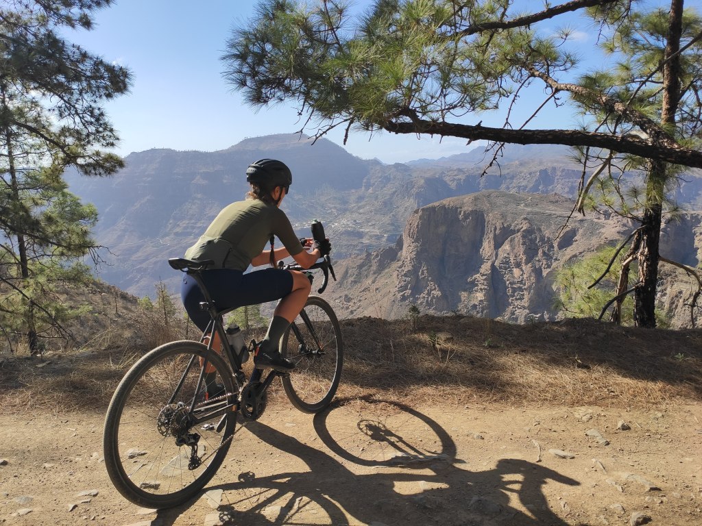
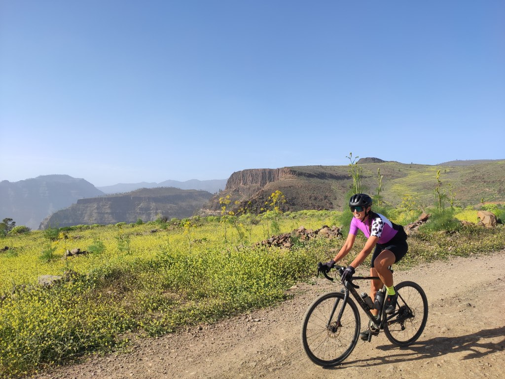
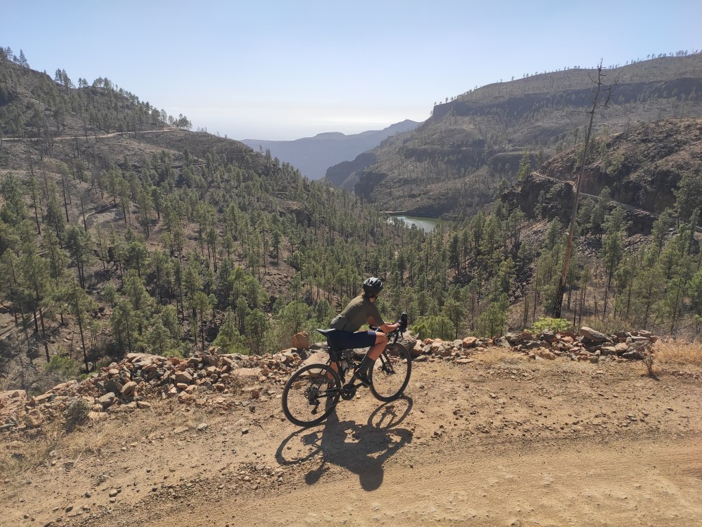
The road stops somewhat unceremoniously, without any particular landmark or feature, yet the gravel ahead is wide, smooth and more rideable than some of the roads near Ayacata.. ! As your tyres crunch over this first hard-packed gravel, you enter a wide open space, filled with wild flowers if the time of year is right, and offering a lovely vista down to the ocean, by now some 800m below you. A small junction confirms a left turn was correct when you pass the 19km to go marker just after, as the gravel road conveys you inland and offers another stunning view of the Soria valley, and the towering centre of the island stretching skyward in the distance.

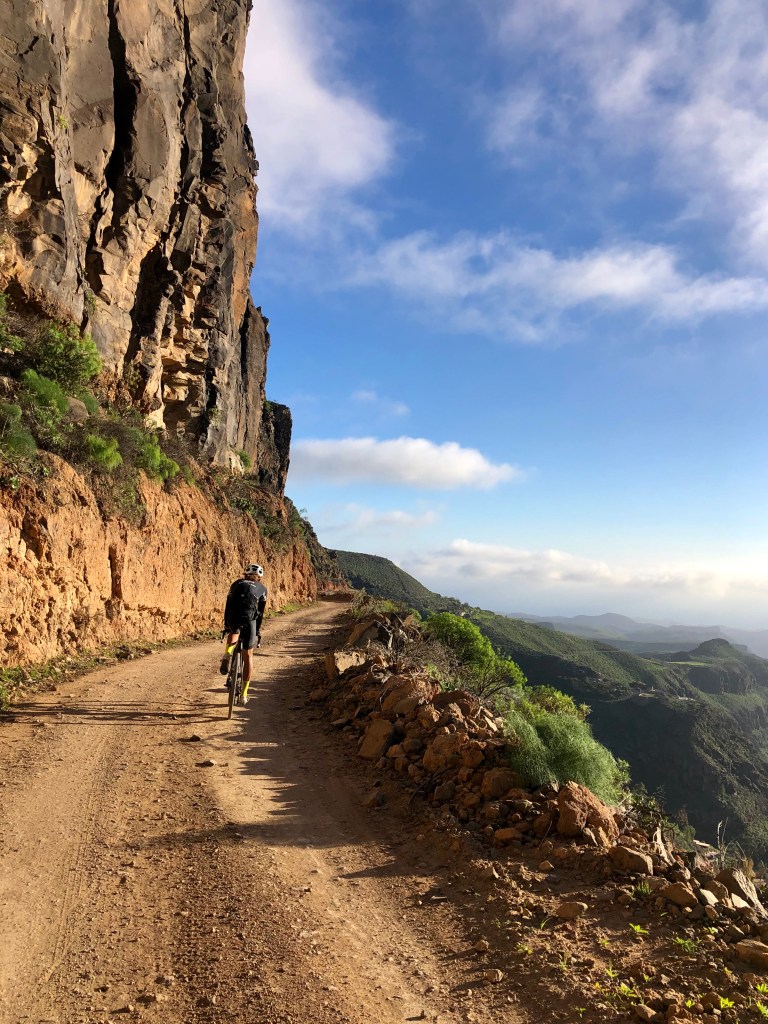
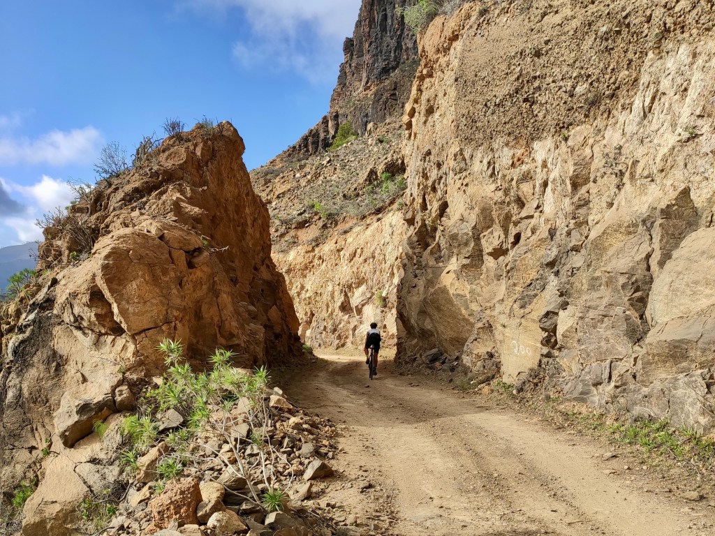
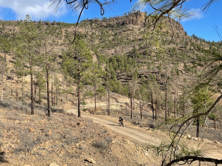
While the tarmac that started our journey was punishing in places, the gravel section is never steep, instead giving you plenty of time to take in the views, as you initially even descend a little, passing through a carved channel through the solid rock before riding along a balcony section that will take your breath away for reasons in no way related to exertion. Jaw dropping, and especially magical in lowing light, marvel at the trail that was carved here so high in the jagged reaches, and the irrigation systems that are networked over the drops to your side, in even more daring engineering feats.
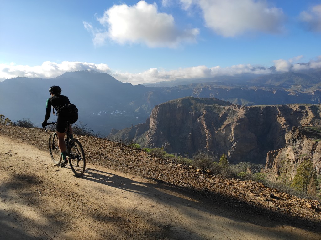
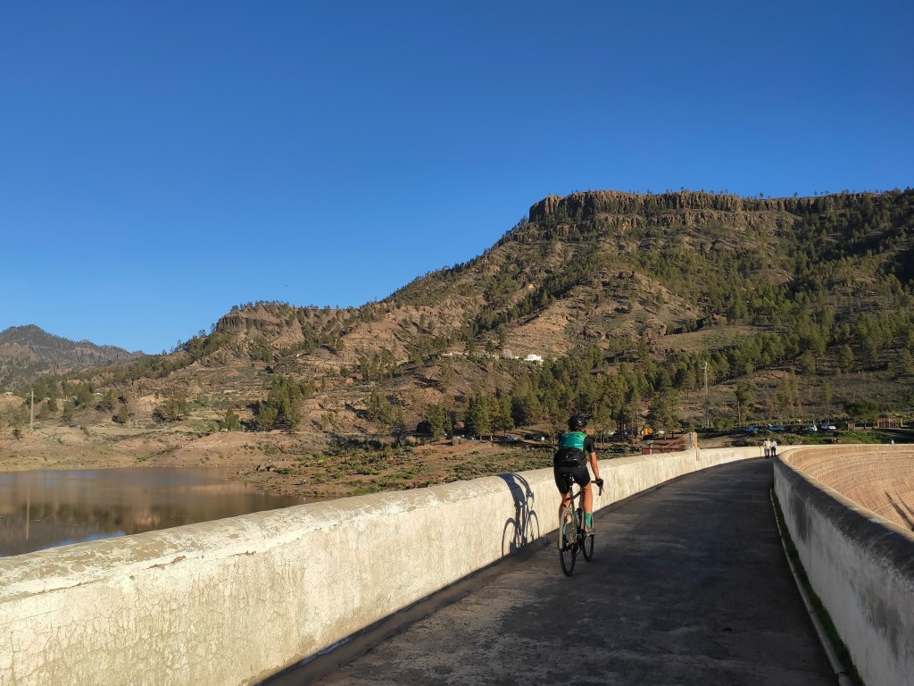
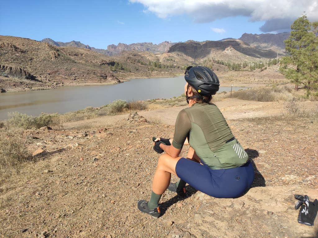
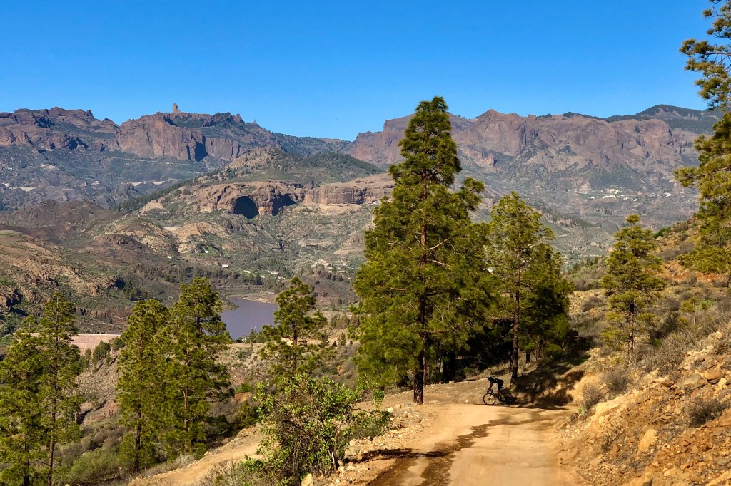
They love a dam here, and it isn’t much further along until we get a view of the Presa de Excusabarajas, a feeder for some of those irrigation channels. Nestled in amongst pines, looking down on the blue body of water from a little higher up, gazing towards the coast is a wonderful scene: blue waters, forests, plunging hillsides, quiet and remote gravel trails.

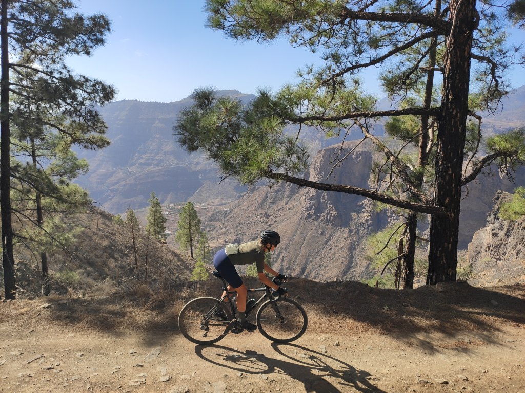
The trail continues winding and weaving, rounding a few large hairpins, all the while maintaining it’s gentle demeanour, allowing the gain of altitude to feel almost effortless, until you reach the highest point of this gravel ribbon, just over 1000hm, and 9km after leaving the tarmac behind.
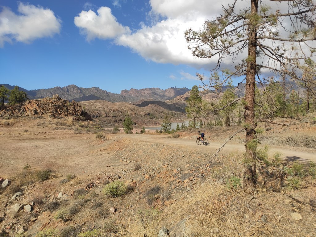
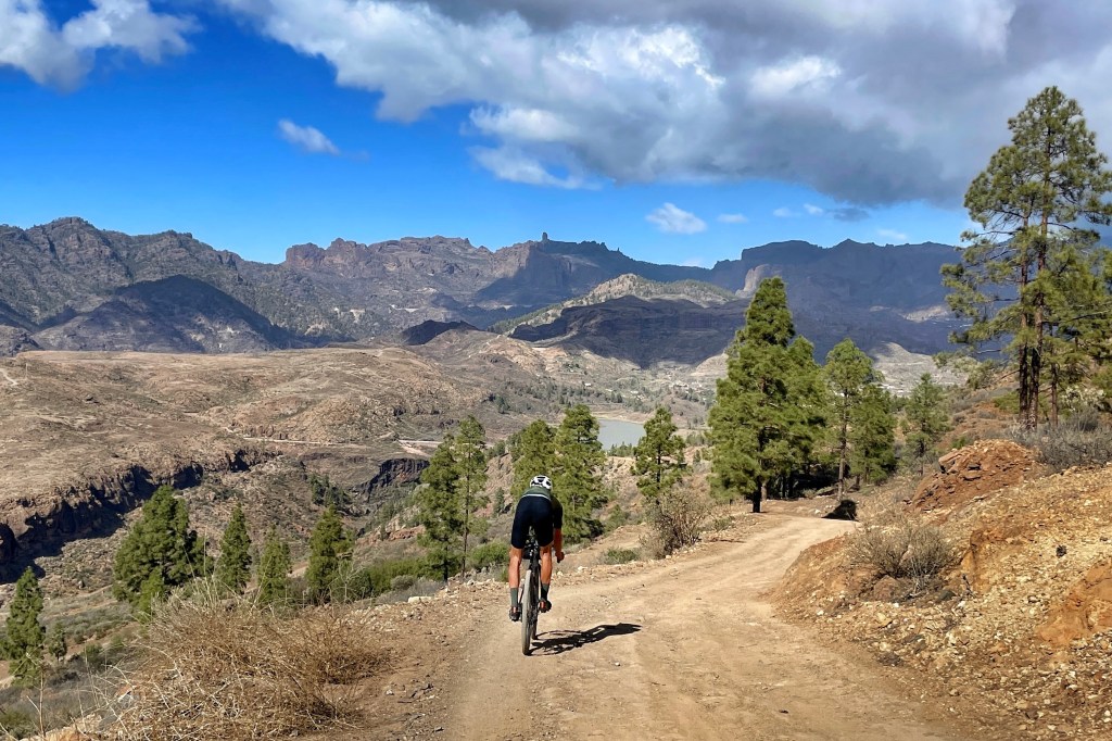
From here on the views refresh as you enter a new valley, descending towards the large Presa de Chira reservoir, set in a truly majestic landscape under the eye of Pico de las Nieves and the mountains straddling its perch.

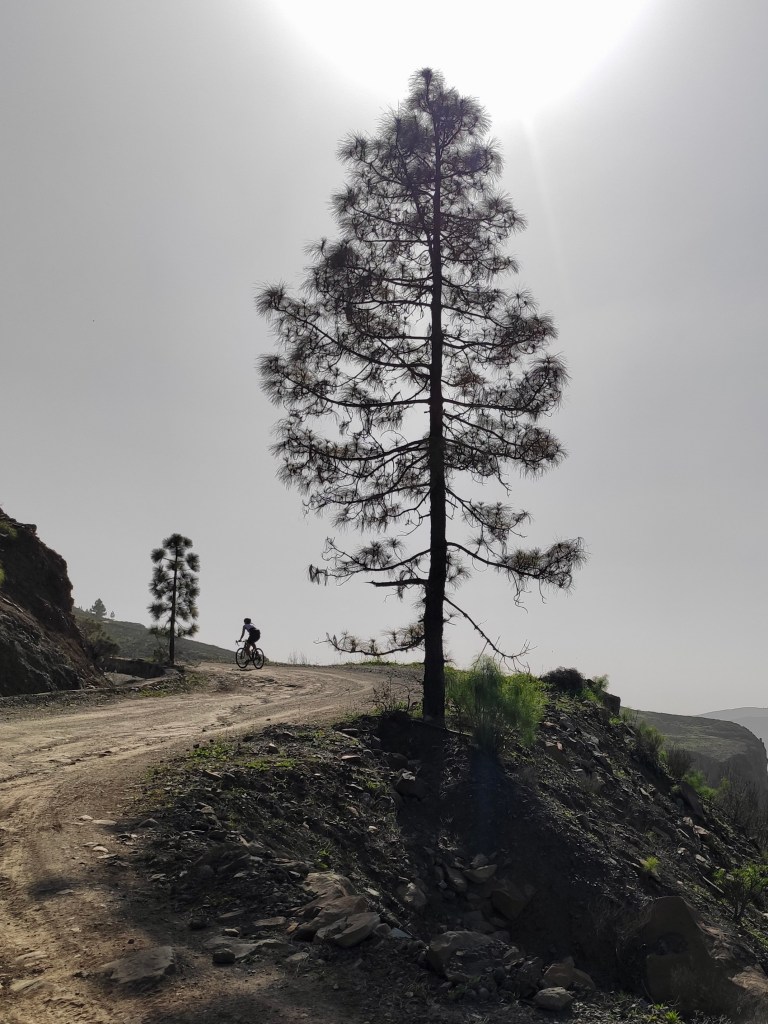
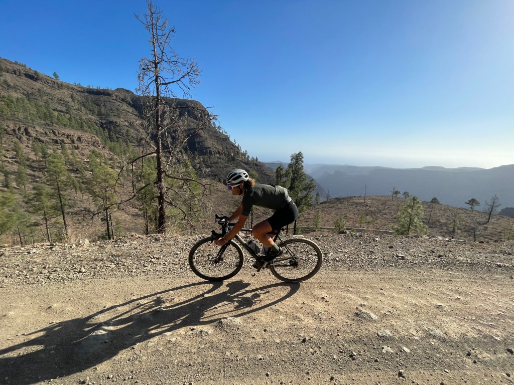
Earlier we referred to the nigh-on unrideable trail of the ‘GraVotT‘: steep, narrow, loose, tight corners, overgrown.. Really only fit as a hiking trail. Chira is anything but this: wide, gentle gradients, with a hard packed gravel that is actually quite easily rideable even on an ordinary roadbike (even on 23mm tyres), but a little more fun and safer on a wider-tyred set up.
Once you reach Presa de Chira- a popular place to start hikes or have picnics- the tarmac restarts, and from this point there are almost 8km back to the GC-60 main road that strings together Maspalomas, Fataga, San Bartolome, Ayacata and beyond. The first 2km or so are flat, but after the village of Cercados de Araña, a 6km climb brings you back up to this main road.
If you need convincing that gravel is a thing on Gran Canaria, this is the first place to check out; just wonderful, and suitable for all levels of rider. There are many other gravel turn offs from this road; connections to Cruz Grande, dead ends leading to communication masts and many more, but this is one of our favourite ways up, and also a delight to go down: easy gravel descending and then the rollercoaster bananas tarmac bit back to El Tablero !

One thought on “Gravel Gran Canaria: Chira ”